Baldpate Mtn: Overview and Summit Trail
Open dawn to dusk year round. During hunting season (Dec-Feb) the park is closed W-Sa to everyone except hunters with special permits.
(609) 989-6559 Website Google Maps Trail Map GeoPDF
Gravitas: ![]() Challenge:
Challenge: ![]()
![]()
![]() Proximity:
Proximity: ![]()

Note: Baldpate Mountain was ground zero for a tornado on July 29, 2021 that caused substantial damage. The storm ripped-up dozens of acres of trees. On September 16, after extensive clearing work, much of the trail system reopened. However, the Switchback, Pleasant Valley, and Red Blaze trail remain closed until further notice.
Note: We love Baldpate Mountain so much, we’ve written four reviews about different aspects of the park: 1) Overview (this review), 2) Switchback Trail, 3) Eastern Trails, 4) Pine Grove Hike. In addition, Fiddler’s Creek Preserve has been added on the other side of Fiddler’s Creek Road.
So Close, Yet So Far
Utterly beautiful. 12 miles of hiking trails with up to a 400 foot elevation gain. 25 minutes from downtown Princeton, 15 minutes from Trenton. Need I say more?
Baldpate has become my favorite place to walk. I can hop in my car, choose among 4 distinct hikes with 300-400 foot elevation gain, and be back home within 2 hours. Or string together challenging hikes of 3+ hours. For a hiker, this is the jewel of the Mercer County Park system, and it’s become one of the most popular hiking destinations in Central NJ. Originating at one of 5 major trailheads, the Summit Trail is deservedly the most popular option, but is far from the only one deserving attention.

The park was established with the participation of Mercer County, Hopewell Township, and the Friends of Hopewell Valley Open Space*, using Green Acres grants from the State. New parking lots were constructed (and expanded in recent years), and the Kusar Family’s summer home preserved as a Nature and Reception Center (in the spring, you’ll often find wedding receptions catered there). Critically, around 12 miles of hiking trails were clearly marked throughout the park, and several trails beautifully upgraded with stone steps carved out of the scrambly bits.
In addition to the Summit Trail (described below), check out the Switchback Trail, which delivers 425 vertical feet in only 6/10 of a mile. We were so excited by this, we wrote a separate review for it: The Most Aerobic Walk in Mercer County. As the Summit Trail has become more popular, I often avoid it on weekends in favor of the hiking trails towards the eastern end of the park. These offer roughly the same elevation gains and gorgeous views of Fiddler’s Creek. The trails aren’t quite so well constructed, but make up for it with improved solitude. See: Go East, Go East.
All that said, the most popular hiking destination in the park is the Summit Trail. The trailhead is on the western side of the park, the second entrance as you drive up Fiddler’s Creek Road from Rt. 29. This end of the park boasts mature maple, oak, and birch trees, and stunning views of meadows and the Delaware Valley from the summit.
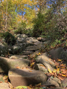
The best part of the walk is about half-way up the mountain with a steep climb up a set of cleverly constructed stepping stones through a rockfall. It’s not overly steep or difficult if you keep to the flat rocks. However, as I’ve gotten older and am less sure of my balance, I’ve taken to carrying a walking stick which I use almost exclusively in this section.
As you continue to follow the main trail towards Strawberry Hill’s summit, you wend your way through a series of short, moderately-steep climbs punctuated by boulders and stone steps. It’s one of the most artfully routed and constructed trails in this part of NJ delivering the aesthetic of an English rock garden.
The Summit Trail, was purpose-built as a hiking trail unlike most other paths in the park, which are converted woods/farm roads. It is officially closed to mountain bikes (and horses) which only competition-class bike riders will regret – however, there is no signage to this effect, and you will sometimes run into bikers attempting the trail. Cyclists should take the main park drive instead, which is paved, and will get you to the top much more easily anyway (though it’s still a beast of a hill). BTW, if you get to the top as a hiker, and are feeling tired, you can walk down the park road. It leads right back to Fiddler’s Creek Road, and a short connecting trail brings you back to the parking lot.
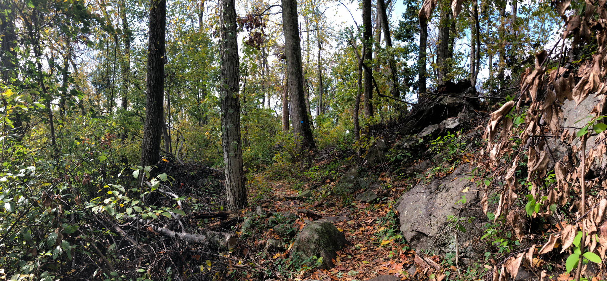
While it remains beautiful, sections of the Summit Trail suffered severe damage from a Tornado that touched down on August 29, 2021. While most of the trail will recover its former beauty quickly, some sections will be scarred for decades.


Patricia Sziber
Great review! Tried to give it 4 stars but it wouldn’t let me (I deducted 1 star for a couple of factual blips. It is otherwise awesome.) You truly captured the essence of Baldpate’s uniqueness in our area. Just to fill in a couple of blanks, the mountain will always be–first and foremost–a nature preserve. All four partners in the acquisition (Mercer County, the State of NJ, Hopewell Twp. and Friends of Hopewell Valley Open Space) recently completed a draft master plan, which is subject to approval by the County Park Commission. The plan calls for leaving the preserve mainly in its natural state. The recently-renovated main house will be a visitors center. Nature programs are already being conducted by the County Naturalist. “Competition-class” bikers take note: The Summit Trail is off limits to bikes and horses. Birders take note: Get out there now for the best warblers in all of Mercer County!
Lisa Fritzinger
Good to see a nice review of Mercer County’s treasure.