Carson Road Woods
Open Daily, 7 AM to 9 PM
(609) 844-7067 Website Google Maps Trail Map GeoPDF
Gravitas: ![]() Challenge:
Challenge: ![]() Proximity:
Proximity: ![]()

On the Beech
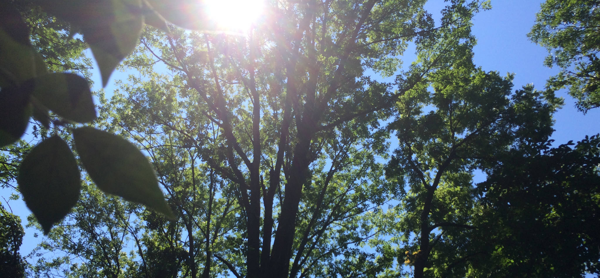
Carson Road Woods is a superb, 183 acre swathe of preserved farmland midway between Princeton and Trenton. The preserve is a mix of woodlands and open fields, with mowed walk-ways along the margins. In a few places, trails are cut through woodlands, including, notably, an awe-inspiring stand of beech.
Most woodland parks in Central NJ run along uplands with thin soil. Carson Road Woods is rich “bottom land”, and the density of the forest cover is impressive: at several points during the walk I half expected Tarzan to swing out of the trees. The mixed habitat (woods, fields, and in-between, all little-disturbed) makes for exceptional bird habitat. I’m not much of a birder, but I noticed many more songbirds around than I’m used to, even in the deep woods. Keep in mind that the paths along the open fields offer little if any shade. So on a sunny day you’ll want a wide brim hat and sun protection. If it’s hot, you may want to pick another day.
Footing is fairly easy, though roots on wooded trails are sometimes treacherous, and some trails run through wetlands. The terrain is nearly dead flat with less than 40 feet of elevation change across the entire park. However, I can’t recommend Carson Woods for beginners because navigation is confusing, and it’s easy to lose your bearings. We’ve created a GeoPDF for the park which is a HUGE help if you install it properly in your smart phone. Otherwise, it’s tough to recommend walking in this park unless you’re prepared to get lost.
The problem is that the trails are mostly un-marked. On a recent trip, none of the field trails (which are really just grass mowed short) were marked or signposted. Trail colors on the map bear no relationship to the color of blazes, because there aren’t any blazes. Note that the three different maps we checked online were colored inconsistently, anyway.
If you’re navigating the fields by eyeballing the maps without GPS assistance, you have to pay close attention and, if park management added a mowed pathway that’s not on map (or worse, subtracted one), it can get very confusing. For the record, on our GeoPDF map, brand new in 2021, we’ve adopted the path names and colors on the Friends of Carson Woods website, and field-checked most of it for accuracy.
One change since the park was originally laid out: the Lawrence-Hopewell Trail runs through the center from north to south. This is a reddish gravel hard-pack trail suitable for a hybrid or mountain bike. It’s unmistakable, though it bypasses the parking lot. If you’re seriously lost and stumble onto it, you can follow it south to Carson Road, then turn right to the parking lot (which is past the bends in the road).

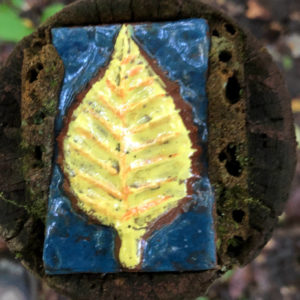
If you succeed in navigate yourself onto a wooded trail, they’re reasonably easy to follow. These trails were built in the early 2000s and provide boards in places to cross small drainages and wetlands. A few of the original trail markers are still around, if you can spot one: they are lovely, custom ceramic tiles mounted on short posts. They’re few and far between, and don’t consistently mark the beginning and end of trails, which reduces their usefulness further.
Really, the woods trails need some proper paint blazes and a consistent color scheme to help you navigate. I confess, even with a prototype GeoPDF map I was using, I made a a wrong turn simply because it wasn’t clear which trail was which. Distinct blaze colors would fix that instantly.
Unfortunately, too, while the field trails were mostly recently mowed, the woods trails don’t seem to get enough use to stay clear. On my recent trip, many were overgrown: I had to stoop down for long stretches, and walk through calf-high brush frequently (raising tick concerns). I ended my exploration (which was in most respects fabulous) with my legs scratched (despite my wearing long pants), and my face cut and bleeding from a bramble stretched across the trail. Frankly, it’s a shame because it wouldn’t take a small trail-crew long to tidy all of this up, no doubt for a tiny fraction of the money spent on mowing. That, plus a consistent color scheme, and a few paint blazes, could fix most everything that’s wrong with this park as a first-rate beginner’s hiking destination.
However, in its current condition, I rate Carson Road Woods as an intermediate level hiking area even though it’s dead-flat. The trees and the mixed habitat are lovely, so that everyone who loves the outdoors should experience Carson Road Woods at least once.


Leave a Reply