Valley Forge NHP: Mt. Joy / Misery Hike

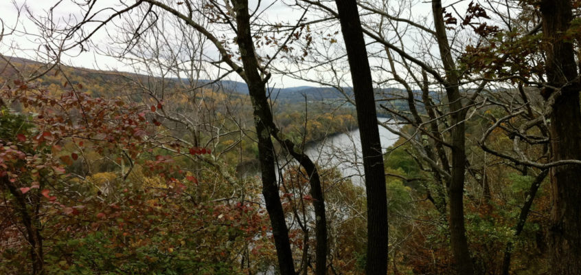
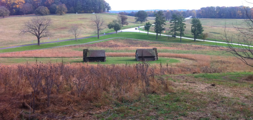
How do you feel about a 4 mile loop hike on one of the country’s most hallowed historic sites, just 45 minutes from town? Valley Forge is only about 40 miles west of Trenton. Kids will love Valley Creek, and the historical buildings. (Driving time about 45 min if you miss traffic; Rated Beginner to Experienced depending on the route you select)

Milford Bluffs: Thomas F. Breden Preserve

The Breden Preserve, 264 acres on Milford Bluffs, plus 30 acres preserved by the Nature Conservancy, provides a charming, and fairly easy walk to fabulous views of the river. (Driving time is 31-60 min, Rated Intermediate for elevation gain and because trails are poorly marked)

Sourland Mountain Preserve

The Sourlands is one of the few hiking spots close to Trenton where you can experience reasonable elevation gain, second only to the Ted Stiles Preserve at Baldpate Mountain. Yes, it is about 40 minutes away (compared to Baldpate’s 20 minutes) and in the Sourlands you gain up to about 350 vertical feet on the steepest trail (compared to Baldpate’s 425). But, the Sourlands have miles of reasonably challenging forest-hiking trails to enjoy… There are trails suitable for all levels of walkers from Beginner to Advanced. Beginners can do some short loop hikes near the parking lot, while Intermediate hikers have miles of trails in the southern section with moderate grades. (Driving time is 40 min; Rated Beginner to Experienced depending on where you go)

Tohickon Valley Trail System

Just 45 minutes from Trenton, across the river in Bucks county, is a spectacularly-scenic ridge-hike along Tohickon Creek. This is a moderately strenuous walk… most of the climbing (a couple of hundred vertical feet) is in the beginning along a well-graded road. To truly enjoy the hike, explore the side trails along the valley. (Driving time about 50 minutes; Rated Intermediate to Experienced, depending on how adventurous you feel in exploring the side trails)

Baldpate Mtn: Overview and Summit Trail

Utterly beautiful. 12 miles of hiking trails with up to a 400 foot elevation gain. 20 minutes from downtown Trenton. Need I say more? This is the jewel of the Mercer County Park system, and one of the nicest small parks in all of NJ. (Driving time is about 20 minutes; Rated beginner to Experienced depending on where you go).

Washington Crossing State Park

What’s the closest place to Trenton to get in a reasonable hike? The answer’s simple: Washington Crossing State Park (the NJ Park, not its counterpart on the PA side). It’s only about 8 miles from downtown, a straight shot up Rt. 29 (or you can cycle up the D&R canal, if you’re truly ambitious). (Driving time is about 15 minutes; Rated for beginner to intermediate hikers depending on where you go).

1 2 3