Woosamonsa Ridge Preserve

Woosamonsa Ridge is possibly the most beautiful, small hiking preserve local to the Princeton-Trenton corridor, and compares to more distant favorites like Zega-Lockatong and Wickecheoke Creek. Those other preserves provide access to much larger and more dramatic streams. Woosamonsa Ridge … Read More

Mount Rose Ridge

On its own, this is a charming, fairly steep little climb of about 120′ vertical elevation up and over the southernmost ridge in the Sourlands. It is the northernmost section of the Watershed Preserve’s main trail, but except for the … Read More

Curlis Lake Woods

The Curlis Lake Woods Trails loop through mature beech, maple, and oak trees and traverse a half-mile of undeveloped lake-shore. The trail system consists of a backbone trail used by horseback riders, cyclists, and walkers that alternates between open fields … Read More

Laurie Chauncey Trail

The Laurie Chauncey Trail (“LCT”) is a gorgeous, 2 mile loop around the fringes of the ETS Campus. It stands next to the Ettl Farm Trail (“EFT”), a second loop, which adds some scenic variations and another mile or so of hiking. Both trails track along Stony Brook, a fairly considerable stream that drains much of Hopewell Township and Princeton before joining up with the Millstone in West Windsor. These trails are relatively flat with just enough undulation to be interesting.

Berry Picking in Local Parks

Every July, usually a week or two after the 4th of July, the wineberries (wild raspberries) start to ripen in open shade along the slopes of local mountains more than 300 feet or so above sea level. I’m not necessarily suggesting you need to go for a big harvest. My wife and I love hiking this time of year, just scanning the sides of the trail for ruby-red raspberries.

Woodfield Reservation

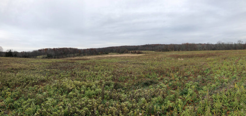
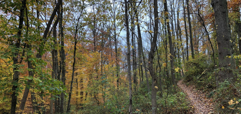
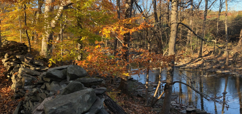
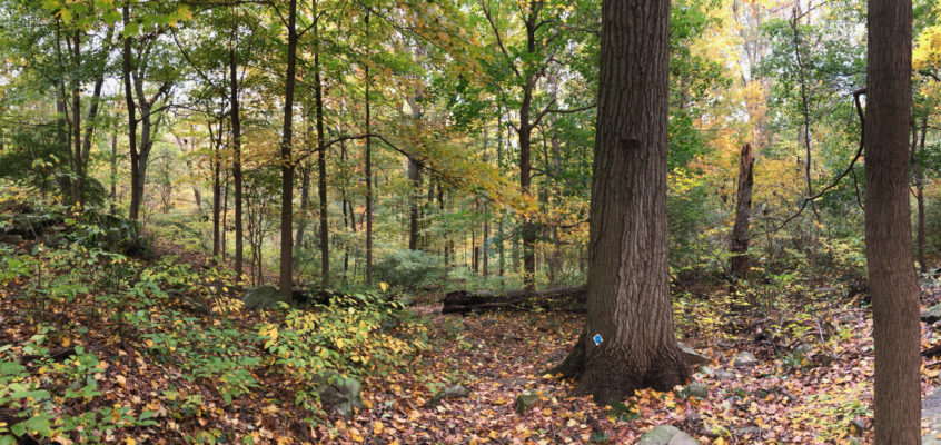
The Woodfield Reservation is an off-the-beaten track preserve in north-western Princeton. It provides just under two miles of woodland hiking trails, with the greatest elevation change you’ll find within the town limits (about 100 feet), and two geologic features that kids love. The trails are laid out in two intersecting loops that cross a series of small brooks which flow during the wet season. Note that the trails do get muddy in places, especially in the spring, and because they get relatively little use, can be narrow and brushy. (Driving time is about 25 minutes; rated Intermediate for brushy trails and poor signage).

1 2