Bowmans Hill Tower Hike

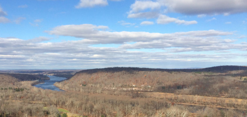
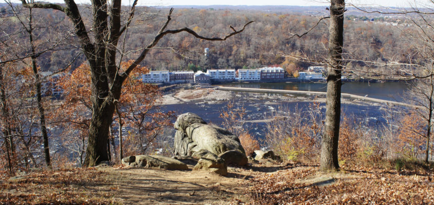
Bowman’s Hill climbs a bit over 300 vertical feet from River Road, with an average gradient of over 25%. That’s pretty darn steep, and it’s one of only a handful of spots within half an hour of downtown Trenton where you can gain so much elevation. Most of this trail is on paved paths, but the climb up the hill is on a trail that’s no longer maintained, hard to find, and unmarked. But it’s short, sharp, and fun: definitely worth checking out by experienced hikers, given its proximity. (Driving time is only about 20 minutes from downtown; rated for experienced hikers only for elevation gain, steepness, and lack of blazing).

Jacobs Creek Trail

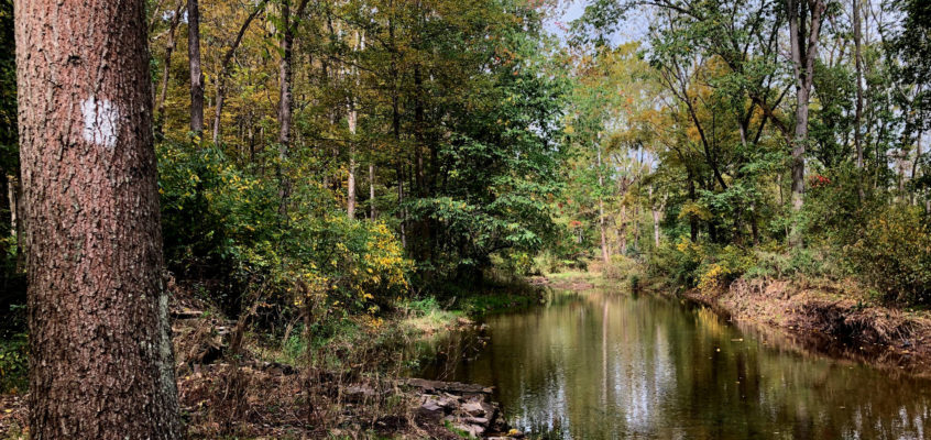
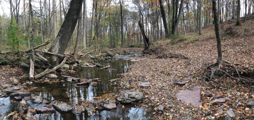
The Jacob’s Creek Trail provides a little over a mile of paths along this famous creek, a charming, short reminder of a wilder time. The southern end of this walk is particularly lovely, because it passes through farm land not yet subdivided into McMansion plots. (

Woodfield Reservation

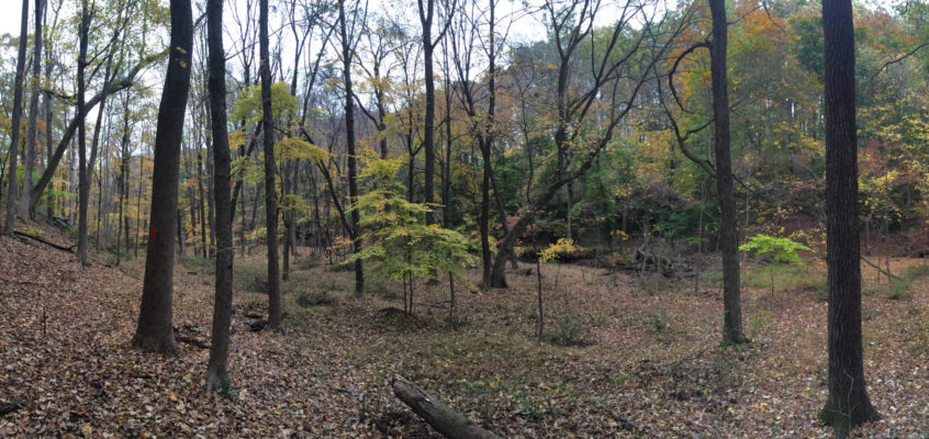
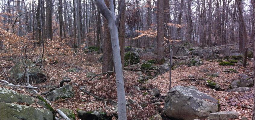
The Woodfield Reservation is an off-the-beaten track preserve in north-western Princeton. It provides just under two miles of woodland hiking trails, with the greatest elevation change you’ll find within the town limits (about 100 feet), and two geologic features that kids love. The trails are laid out in two intersecting loops that cross a series of small brooks which flow during the wet season. Note that the trails do get muddy in places, especially in the spring, and because they get relatively little use, can be narrow and brushy. (Driving time is about 25 minutes; rated Intermediate for brushy trails and poor signage).

Greenway Meadows / Stony Brook Trail

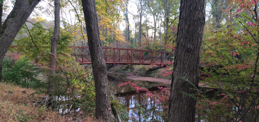
It took me 22 minutes to drive to the trailhead parking lot from Trenton. Once on the trail, you’ll find yourself in a wild, tranquil world where everything seems to be right. No small feat. The path tracks Stony Brook along its flood plain. This preserved a swathe of undeveloped land through some of the most valuable real estate in New Jersey. When the leaves are up on the trees, you’re barely aware of the suburban development that surrounds you.

Fiddlers Creek Preserve

Fiddler’s Creek Preserve is a 120 acre parcel directly south of the Baldpate Preserve, on the opposite side of Fiddler’s Creek Road. It provides two miles of Beginner to Intermediate trails, none with more than 80 feet of vertical elevation change, through fields, woods, and (most interestingly) Fiddler’s Creek Ravine. Kids will enjoy the rock walls of the ravine and the historic ruins.

Baldpate Mtn: Eastern Trails

Lovely trail section of the Baldpate trail system, recently re-blazed with drainage improvements. Less steep than Summit or Switchback trails, but lovely in its own right. We suggest loop hike: Kusar Mountain to Copper Hill (either branch, western harder and wetter), to parking lot, then return via Kusar Mountain, which starts near high tension wires.

Witherspoon Woods / Mountain Lakes

In recent years, Princeton has gotten serious about preserving open space. Recently, Princeton added Witherspoon Woods to its park system and trail network. It’s only 40 acres, but it adds charming terrain and a slightly more challenging way to access the Mountain Lakes Preserve. I stumbled upon it by accident and fell in love with it. A wonderful introduction to “real hiking” for beginners, and a charming walk for everyone. (Driving time is about 25 minutes. Rated Beginner though the footing is rocky in places and can get muddy in wet season)

Goat Hill Preserve: Family Hike

Goat Hill towers 400 feet above the Delaware River, and provides spectacular views of New Hope, Lambertville, and Bucks/Hunterdon counties. Local legend has it that Washington visited the site before he crossed the Delaware. Kids will love the views and will be intrigued by the history. (Rated for Beginner to Experienced hikers, depending on where you go)

Dry Run Creek / Rockhopper Trails

Just north of Mercer-Hunterdon County line is the Dry Run Creek trailhead, 20 minutes or so north of downtown Trenton by car. Maintained by the D&R Greenway Land Trust, it’s a delightful, 1.2 mile trail that descends into Dry Run Creek* and then climbs about 230 feet to 518 and another parking lot. There, if you look directly across the road, you can continue on the Rockhopper Trail. Altogether, you can walk an entertaining 10+ mile round trip hike.

Sourland Mountain Preserve

The Sourlands is one of the few hiking spots close to Trenton where you can experience reasonable elevation gain, second only to the Ted Stiles Preserve at Baldpate Mountain. Yes, it is about 40 minutes away (compared to Baldpate’s 20 minutes) and in the Sourlands you gain up to about 350 vertical feet on the steepest trail (compared to Baldpate’s 425). But, the Sourlands have miles of reasonably challenging forest-hiking trails to enjoy… There are trails suitable for all levels of walkers from Beginner to Advanced. Beginners can do some short loop hikes near the parking lot, while Intermediate hikers have miles of trails in the southern section with moderate grades. (Driving time is 40 min; Rated Beginner to Experienced depending on where you go)

1 2 3 4