Griggstown Native Grassland Preserve
Open 30 minutes before sunrise until 30 minutes after sunset. Closed to public during firearm deer hunting season M-Sa. Hikers must wear orange during bow hunting season.
(732) 873-2500 x6279 Website Google Maps Trail Map GeoPDF
Gravitas: ![]() Challenge:
Challenge: ![]()
![]() Proximity:
Proximity: ![]()

Jurassic Spark
For years I’ve heard about the Griggstown Native Grasslands Preserve but was never motivated to visit. Frankly, “Grassland Preserve” may be accurate, but it’s terrible branding for a woodland hiker who loves slopes and finds most meadow hikes as boring as, well, “watching grass grow.”
What I didn’t realize until I loaded a bedrock geology layer into my GIS system, is that the Preserve abuts the same Mt. Rose Ridge that supports several other, lovely hikes in Central NJ. It’s anything but flat, rising nearly 250 vertical feet from the low-point within the Preserve to the top of the ridge and the summit of 10 Mile Run Mountain.
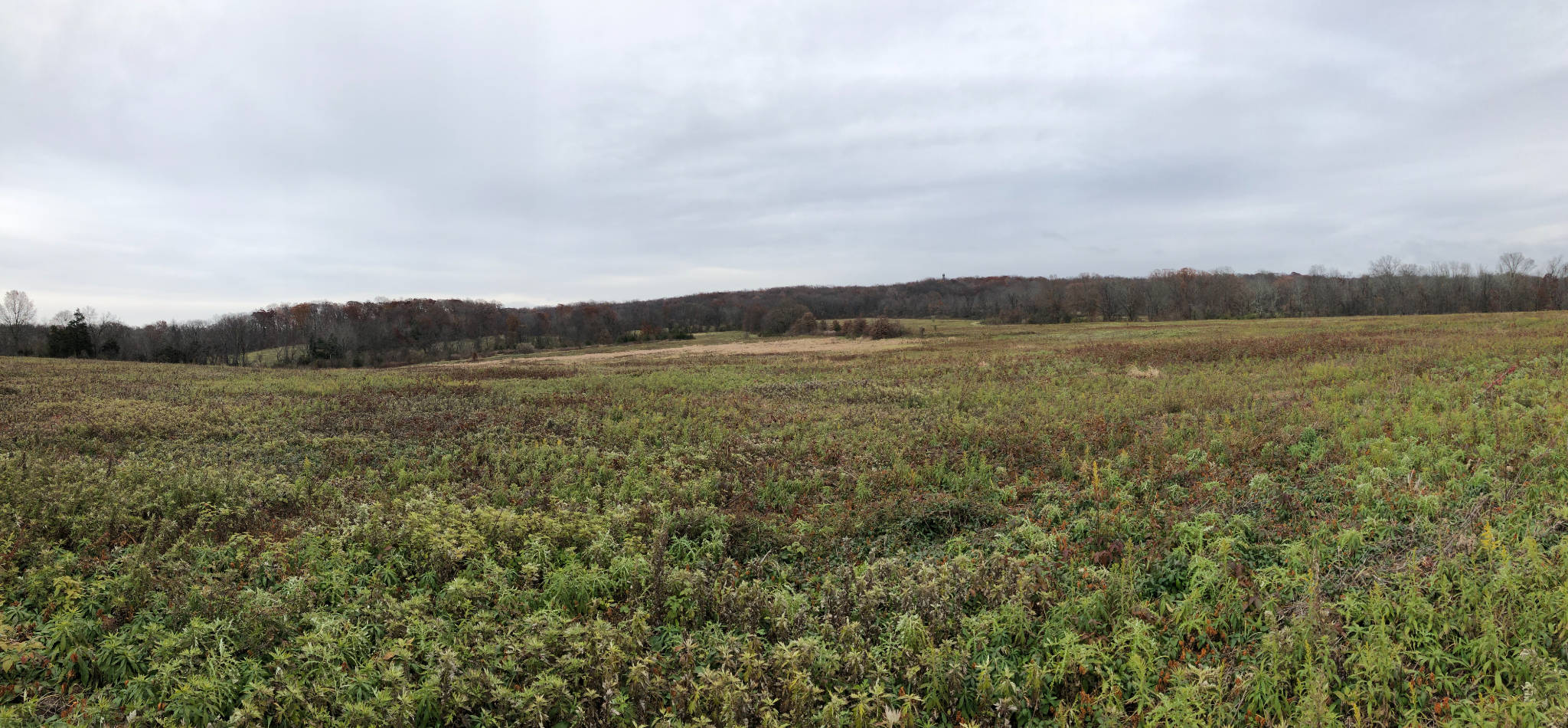
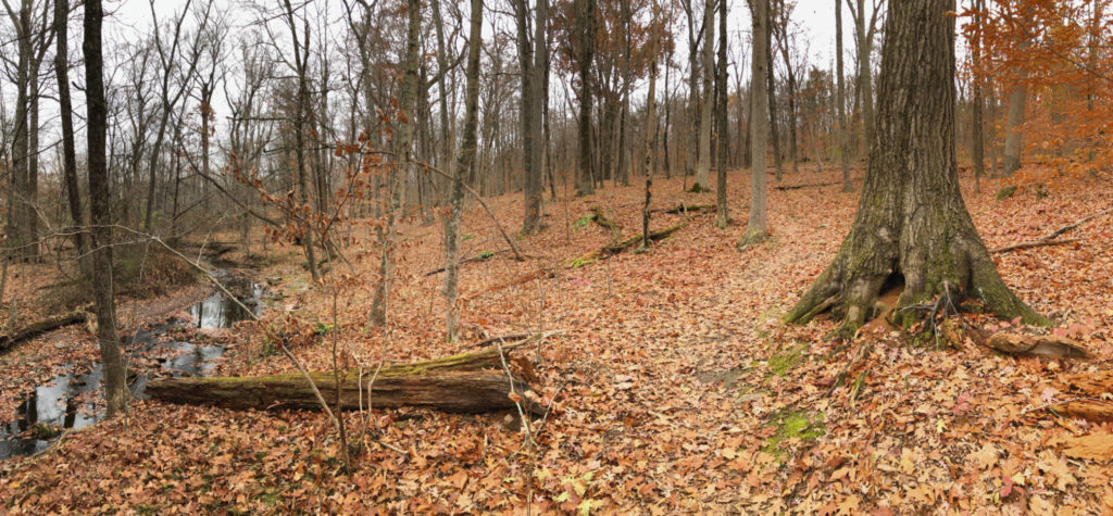
Moreover, the views across the grasslands are often stunning, and unlike almost anything else I’ve ever seen. As well, it’s not all open meadows: the “orange” trail, in particular, and much of the “brown” trail, are entertaining woodland hikes. Orange also tracks Simonson Brook, adding even more visual interest.

Within the grasslands, the trails are carefully constructed and quite smooth. They also drain well. I ran into only a couple of muddy spots, easily avoided. The orange trail is well marked, though footing is rocky and somewhat more challenging.
If you walk onto the summit ridge (part of the Bunker Hill Natural Area, also managed by Franklin Township) some of the trails can get quite rocky. Others are woods roads built to a near-highway standard to support service access to a municipal water system. If you’re targeting the summit of Ten Mile Run Mountain, I would suggest following the Yellow Trail/Brown Trail loop counter-clockwise. The initial section of the Yellow Trail is one of those highway-like woods roads, and not particularly stimulating as a walking trail. However, it does give you a clear view of the slope you’re climbing, which is impressive. The return loop is mostly via paths. If you do it in the other direction, you gain most of the elevation away from the summit, so that the summit itself becomes a bit of an anticlimax.
A nice feature of the summit is a circular pile of diabase boulders. Such structures are common on Jurassic diabase bedrock. The 10 Mile Run ridge formed as a magma flow underground into fractures in existing rock (technically a “dyke”). The flows cooled and hardened, then were covered by additional layers of sedimentary rock. Over eons, the softer rocks eroded, exposing the hard, diabase ridge. The boulders were chambers in the original fractured rock that filled with magma and were located above the main dyke. Now that the softer rock has eroded, the boulders are exposed.
Because the grasslands, compared to a typical woods hike, are so open to the elements, you may want to give some consideration to the best times to visit.
During the summer, you’ll want to go early in the morning to avoid the heat, and wear proper sun protection: a wide-brimmed hat as well as sun-screen. Fall is clearly a superb season to visit. The open grassland is lined by trees, affording superb views of fall colors in the mid-distance. After the leaves drop, you lose some of the colors, but you gain views through the trees of ridge-lines at a range of scales from close by to miles distant. Towards the top of the preserve you get great views of the primary Sourlands Ridge, plus Cushetunk and Watchung Mountains.
During the winter, cross country skiing and snowshoeing are both possible after major snowfalls. You’ll need to stay on the trails. Given the exposure, you’ll want to avoid windy days. But the grasslands afford enough slope to make skiing more interesting to anyone with more than rudimentary skills.


Leave a Reply