Haycock Mountain
Open year round, 24x7 (located on state game lands)
(717) 787-4250 Website Google Maps Trail Map GeoPDF
Gravitas: ![]() Challenge:
Challenge: ![]() Proximity:
Proximity: ![]()

Nocka-Rocka Scramble
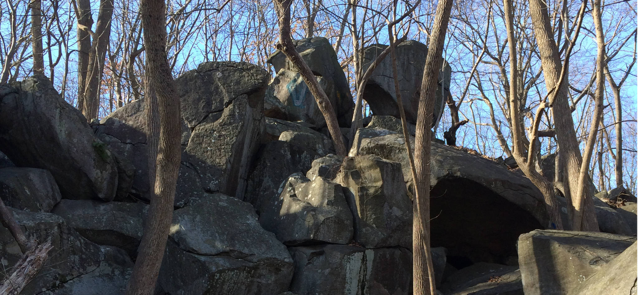
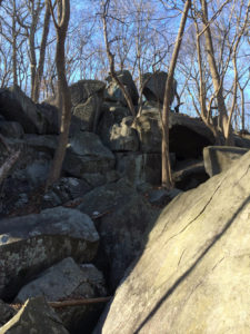
Haycock Mountain is an entertaining, short hike (only about 0.75 mile from the trailhead to summit). You gain 460 vertical feet in this distance, which puts the average gradient about 12%, though the hike gets a fair bit steeper as you approach the summit. The payoff is the scramble: from roughly the midpoint of the hike to the summit, you’re picking your way through giant boulders.

This is the steepest bit near the summit ridge.
The short length and scrambly nature of the hike makes it particularly entertaining for experienced hiker-kids. It does require experienced hiker-adults to accompany them because the trail is poorly blazed, and appears as if it was never officially marked. Many individuals have stepped in to fill the void, with the result that there are several, mutually inconsistent markers through the critical sections of the hike. For example, towards the left border of the photo above you can see a pink two-headed arrow that someone painted to mark this section of the trail. What you don’t see are 4 other types of markers through the same general area: blue paint, pink surveyor’s tape, white reflective tape, and yellow paint left by different generations of “helpful” hikers, which are all marking slightly different routes through the boulders.
Overall, you have to consider any single blaze as “advisory” and ultimately pick your own route. If I found myself getting into trouble, I would backtrack a few dozen feet and try again. I found there always was a reasonable alternative that didn’t require taking any serious risks. Definitely download and install our GeoPDF map: it will keep you from getting seriously lost: I read an online comment from an experienced hiker that he had gotten lost for 4 hours on this route! However, no GPS is accurate enough to help you with rock by rock decisions. If you find yourself way off the plotted track, you may want to reconsider where you’re going, but ultimately it will be up to you to find a good route to the top.

Haycock Mountain’s trailhead is off of Top Rock Rd, 0.6 mile north of 563, near the eastern end of Nockamixon State Park. There’s no signage at the trail-head identifying this as Haycock Mountain. From the parking lot, you’ll also have the choice of a trail or a gravel woods road (take the trail). The trail itself is on State Game Land 157, not the State Park, per se. During hunting season, make sure you wear orange as you’re walking through a preserve set aside for hunters.
Driving to Haycock takes just about an hour from Princeton or Trenton. There are literally dozens of routes, all of which take about the same time, and none of which is terribly direct. My suggestion is to drive via Stockton, NJ. This makes the drive absolutely gorgeous, though you will need a navigator/GPS.
This is also a relatively long drive for a relatively short hike. If you have kids, it may be worth it anyway, but consider making an outing of it by taking in other activities in the state park, or else stopping in Doylestown or New Hope on the way home.


Leave a Reply