Jacobs Creek Trail
Open year round, dawn to dusk. Portions of the trail close seasonally for hunting, except on Sundays.
(609) 730-1560 Website Google Maps Trail Map GeoPDF
Gravitas: ![]() Challenge:
Challenge: ![]() Proximity:
Proximity: ![]()

In Flood-Plain View
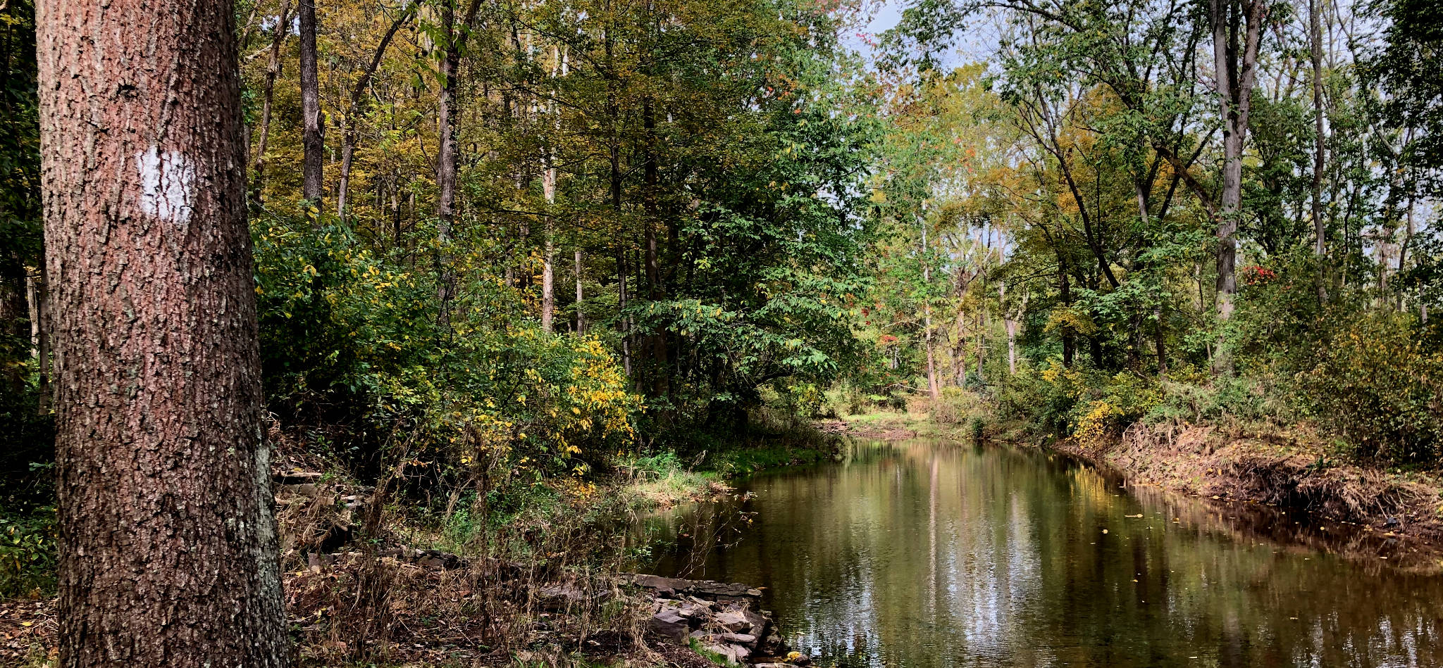
The Jacob’s Creek Trail provides a little over a mile of walking along this famous creek, best known as a natural barrier that delayed Washington’s army on its fateful march to Trenton on Christmas morning of 1776. This event occurred a little over a mile downstream, so no particular historic pedigree can be claimed for this hike.
It is, however, a charming, short reminder of a wilder time. Even the greediest real-estate developer recognizes that the flood plains of streams make terrible places to develop homes, so these areas are one of the few places permanently spared the suburban sprawl that characterizes much of central NJ. The southern end of this walk is particularly charming, because it passes through farmland not yet subdivided into McMansion plots. It’s also more varied than many “river” walks because the trail climbs away from the stream at several points, onto small bluffs. It’s never more than 60 vertical feet or so, but it’s enough to add variation. It’s a linear trail that totals roughly 1.2 miles one-way.
CNJhiking lists several, similar walks to this one, including the Greenway Meadows/Stony Brook Trail in Princeton, and Fiddler’s Creek Preserve, also in Titusville. This is probably the least prepossessing of the three, but charming in it’s own right: when I walked this path a great blue heron was winging along the creek-bed, below the tree canopy, only a few yards from me, and was as startled as I was when he noticed my presence and arced away. This isn’t the first place I’d go in Mercer County to hike, perhaps not even the 10th, but if you’re looking for some variation, it’s lovely. Birders will particularly enjoy the hike because it offers multiple bird habitats in a compact area.
Definitely use the southern trail-head on Pennington-Titusville Rd. First, it’s much the prettier spot (the northern parking area is surrounded by houses). Second, to get in any kind of reasonable walk from the northern trailhead, you’ll need to cross the stream twice. At high water, you could get wet at either crossing. If you’re not prepared to wade (and in November, I wasn’t) you can still take in most of the hike from the southern trail-head without a single crossing and walk nearly 2 miles round-trip.
The trail itself is easy to follow, tracking the banks of the creek fairly closely, and well blazed with white, paint markers. We’ve rated this hike intermediate only because the footing is at times a little irregular.
Most of this walk passes over private land easements secured by FoHVOS that link two preserved parcels at either end: the Nexus Preserve to the north, and Franz Preserve to the south. Note the trail does NOT run underneath the bridge on Pennington-Titusville Rd.


Amie Rukenstein
Just fyi, there is currently massive bridge reconstruction at the southern end of this trail (on Pennington -Titusville Rd) expected to continue through the summer, so there is currently no parking and limited accessibility to the trail from the south. During deer hunting season it is important to check the signposts at the start of the trail to make sure it isn’t closed for hunting.
Glorilyn Huber
I’ll have to check this out